


Description
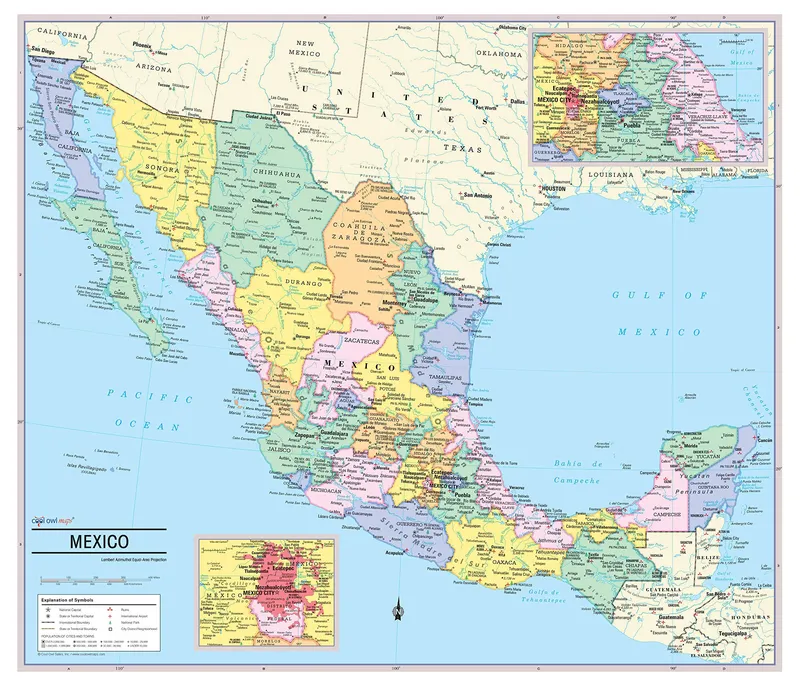
State colored with banded boundaries Ruins, National Parks, International Airports Mexico states with their capitals Made/Printed in U.S.A., Updated for 2020 Unique, full color, and detailed this political map of “Mexico” features geographic detail and accuracy. The map shows Mexico state boundaries, place names, a selection of Ruins, National Parks and International Airports, bodies of water, and more. Insets maps show the Mexico City metro area and the region between Mexico City and Vera Cruz. All current country information. MADE / PRINTED in U.S.A. Laminated 28″Wx24H”. Larger versions available.
- State colored with banded boundaries
- Ruins, National Parks, International Airports
- Mexico states with their capitals
- Made/Printed in U.S.A., Updated for 2020