


Description
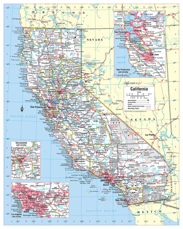
Large Print for easy reading Selection of Major Geographical features All counties and their capitals Size 24″W x 30″H inches (paper or laminated) Made/printed in U.S.A. 2023 Unique, color banded, this political LARGE PRINT map of California state features geographic details. The map shows all county boundaries, county names with their capitals. Perfect for Schools, Home, Office or Home Schooling. – Large Print for easy reading – Counties with banded boundaries, Shows insets of San Francisco, Sacramento, and Los Angeles. – Perfect for Schools, Home, Office or Home Schooling. – Large Print for easy reading – Counties with banded boundaries – All counties and their capitals – Selection of cities, parks, monuments, major Roads, and major Geographical features – Size 24″W x 30″H (paper or laminated) – MADE in USA / PRINTED in USA
- Large Print for easy reading.
- Counties with banded boundaries, Shows insets of San Francisco, Sacramento, and Los Angeles.
- Perfect for Schools, Home, Office or Home Schooling.
- Counties with banded boundaries.
- All counties and their capitals.
- Selection of cities, parks, monuments, major Roads, and major Geographical features.
- Size 24″W x 30″H (paper or laminated).
- MADE in USA / PRINTED in USA.