



Description
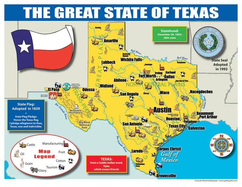
Each map has two sides. Side 1 includes: A colorful map of Georgia that includes all the major cities A map legend that includes where all the major industries are located throughout the state including: peanuts forest products poultry and eggs tourism fruit textiles cattle Origin of Georgia’s name History of Georgia’s flag and image of the flag Georgia’s statehood date Georgia state seal Side 2 includes: A black & white image of all of the counties in Georgia Each map is 8.5” X 11” and printed glossy paper.
- A Map Legend That Includes Where All The Major Industries Are Located Throughout The State.
- Origin Of Louisiana’S Name History Of Louisiana’S Flag And Image Of The Flag Louisiana’S Statehood Date Louisiana State Seal.
- Side 2 Includes: A Black & White Image Of All Of The Counties In Louisiana.
- Each Map Is 8.5”X 11”And Printed Glossy Paper.